

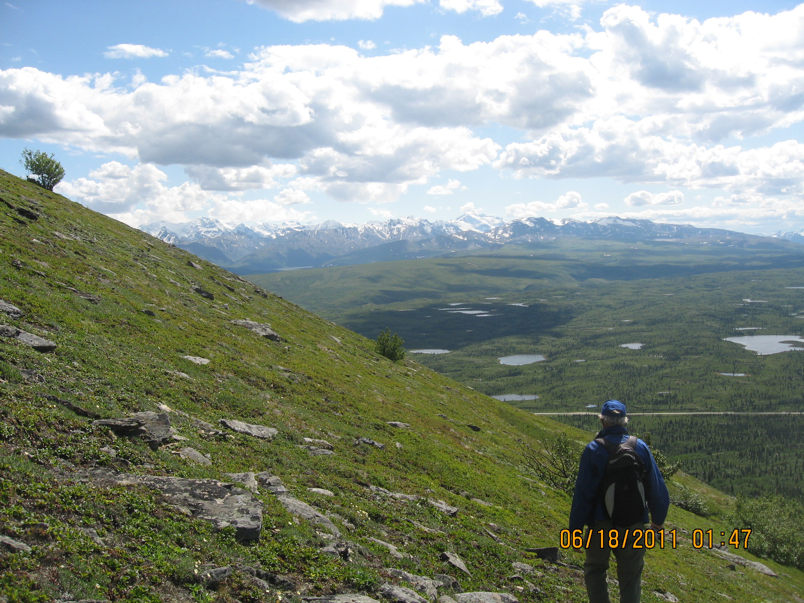
There is no designated trail, just a system of many trails that have been used, mostly steep with many sections of loose rock. We finally opted to get good footing on the clumps of vegetation. Views on the way up were outstanding with many more small lakes below than we’d realized.


It leveled out nicely toward the top (3900’) and we cruised on to the marker, someone’s underwear on a stick, and took in the 360-degree panorama.
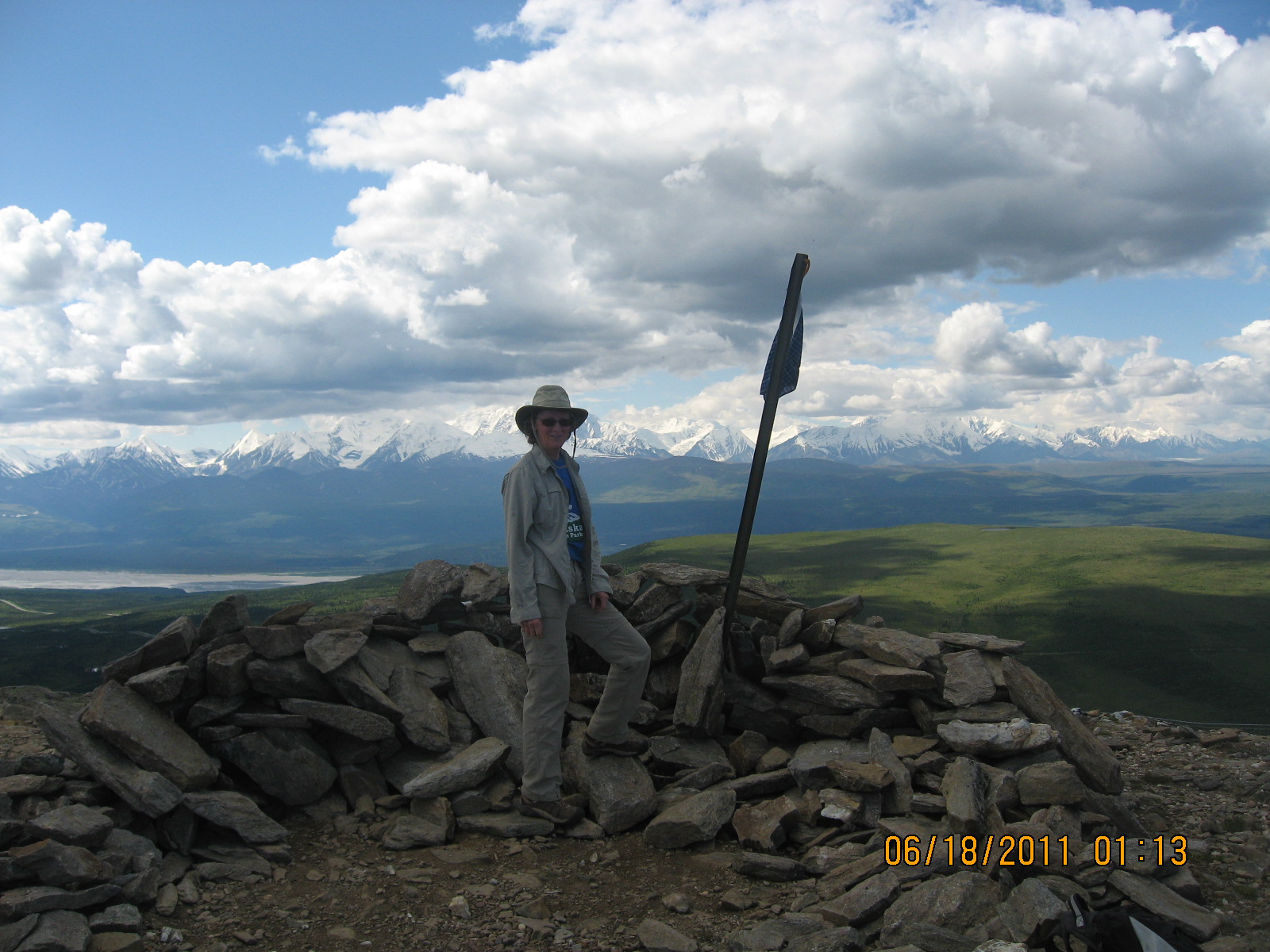
Visible from here is the Alaska Range, the pipeline, Delta River (same river that goes by our campground), Ft Greely, and miles and miles of jaw dropping scenery. Not wanting to slide down the loose trail we came up, we decided to try another side of the dome coming down. Trial and error sent us on a much easier route around the dome and we eventually aimed back to a lower, friendlier section of the original trail.
It was an excellent hike, gave us some much needed exercise and we certainly appreciated the warm sunny day after several days of clouds and drizzle in camp.
No comments:
Post a Comment